Reserve from the case
Shipping Estimate
USA
- USA
- CAN
- USA
- CAN
Ships within 48 hours · Estimated delivery Oct 11 - Oct 16
Reserve from the case
Ships within 48 hours · Estimated delivery Oct 11 - Oct 16
The area of coverage includes all of Broward County
educational institutions
- East: to cover all of Haughton
Details Included: Airports
Size: 26" x 17"
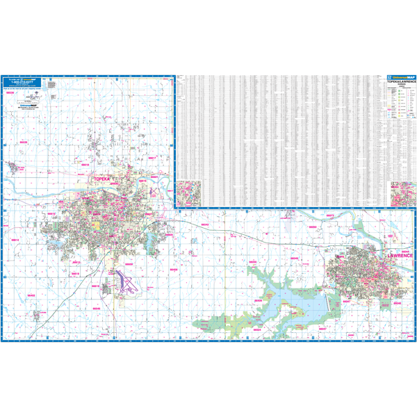
Topeka Lawrence, KS Wall Map Options:Laminated On Pull Down Roller The area of coverage includesThe Topeka, Kansas Wall Map by Kappa Map Group measures 77 W x 54? H and provides complete street detail at a scale of 1? = 2,583 feet. Contains up to date cartography with new streets changes and is printed in color with a markable and washable laminated surface. Streets are indexed in a separate book. Map coverage: North: To the Shawnee Jackson County line and includes the City of Oskaloosa in Jefferson County; South: To the Shawnee Osage County


Pay in 4 interest-free payments of $48.74 Learn more