Reserve from the case
Shipping Estimate
USA
- USA
- CAN
- USA
- CAN
Ships within 48 hours · Estimated delivery Oct 17 - Oct 22
Reserve from the case
Ships within 48 hours · Estimated delivery Oct 17 - Oct 22
Scalex MapWheel provides a simple
Measures 67
township names and boundaries
8 foot USB Cable
gold courses
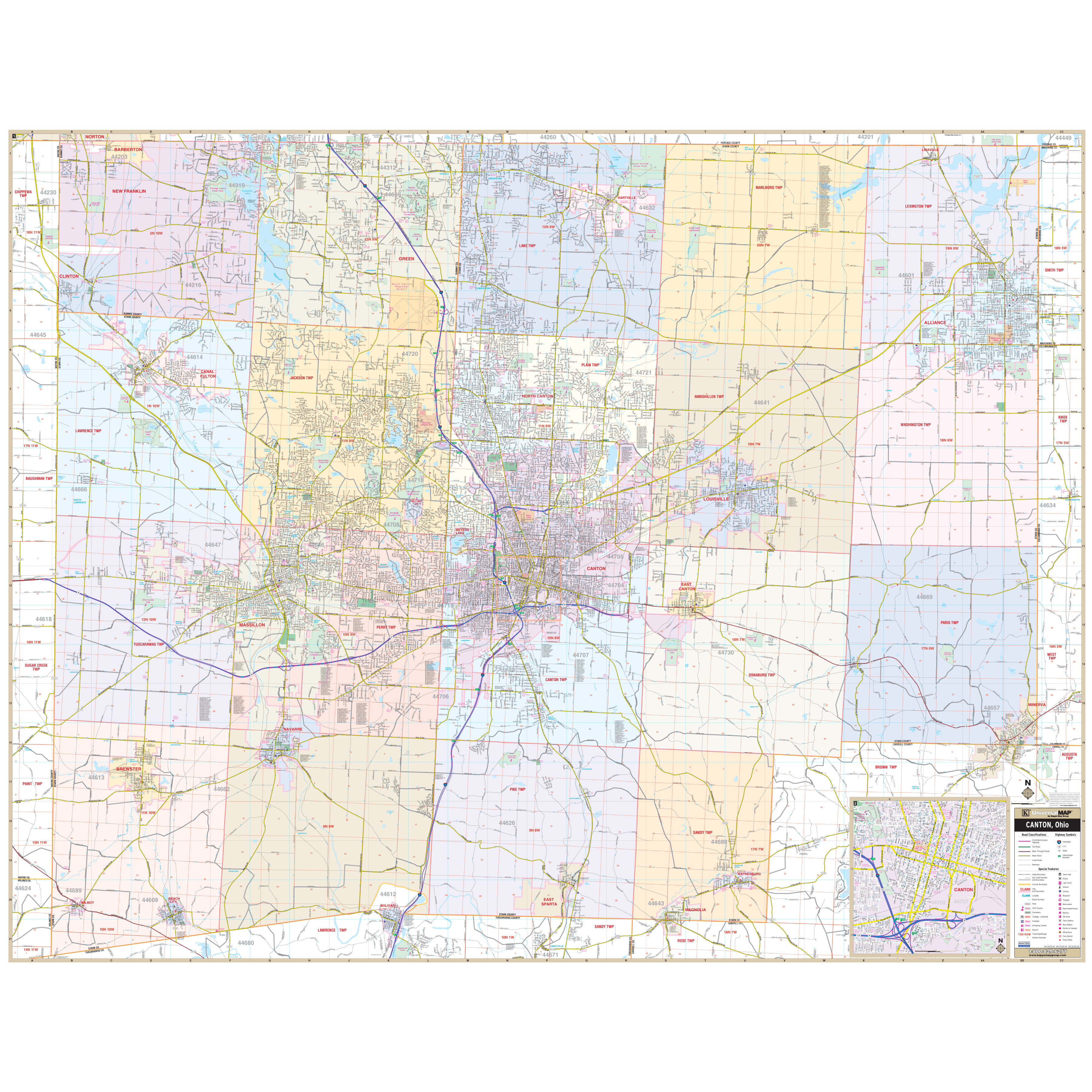
Canton and Stark County, OH Wall Map Options:Laminated Only Scalex MapWheel provides a simpleThe Canton Stark Co., Ohio Wall Map by Kappa Map Group measures 72? x 56? (6' W x 4'8" H)and provides up to date cartography in complete street detail with new streets and changes. Area of coverage ranges North: Portage Stark County line; including all of Green and New Franklin in Summit County; South: to the Stark Tuscarawas County Line; East: Columbiana Stark County line; all of the City of Alliance; and West: Wayne Stark County line. Includes an

US$ 94.00

US$ 94.00

US$ 58.00


US$ 58.00


US$ 94.00


US$ 39.58


US$ 58.00


Pay in 4 interest-free payments of $48.74 Learn more